

The Cabinet of Ministers of Azerbaijan continues work to prevent the use of distorted maps of the republic’s territories occupied by Armenia.
In particular, on the basis of the GIS (Geographic Information System) software, a corresponding electronic database has been created, reflecting information about the boundaries of administrative districts, names and boundaries of cities, regional centers and other settlements, and street names.
Also, urgent measures are being taken to strengthen control over the import of visual aids into the country, reflecting false information about the territorial integrity of Azerbaijan, and to eliminate the identified cases.
Source: Baku Travel Guide
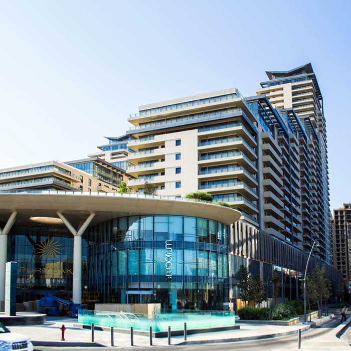
First Luxury Destination Shopping Mall - Port Baku Mall has been designed by leading British…
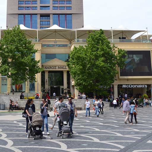
Nargiz shopping center is located in the center of Baku, on Fountains Square. The official…

Ganjlik Mall Shopping Center is one of the largest shopping centers in Azerbaijan. The mall…

28 Mall Shopping Center (Mall 28) located in the heart of Baku, adjacent to the…
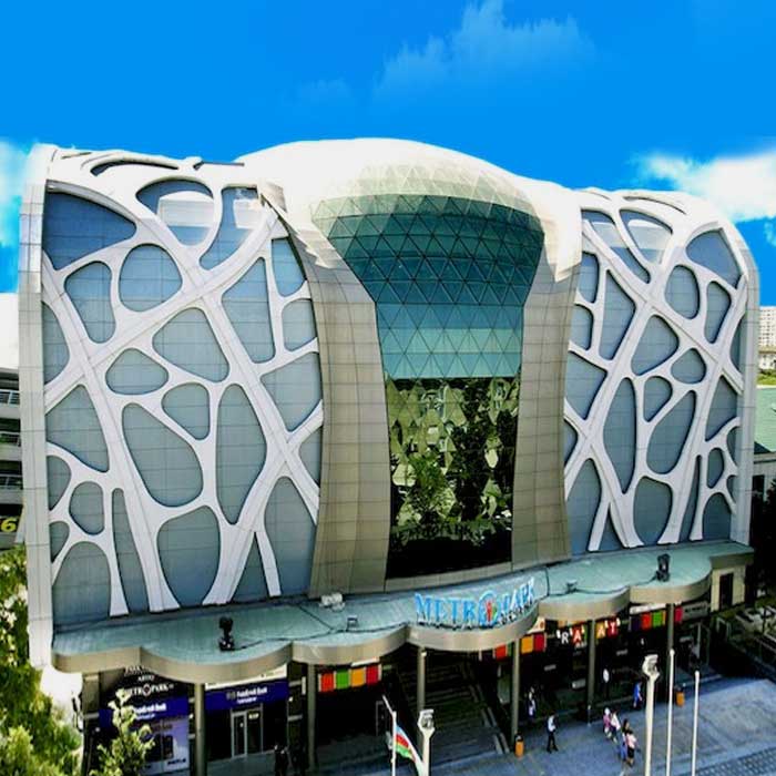
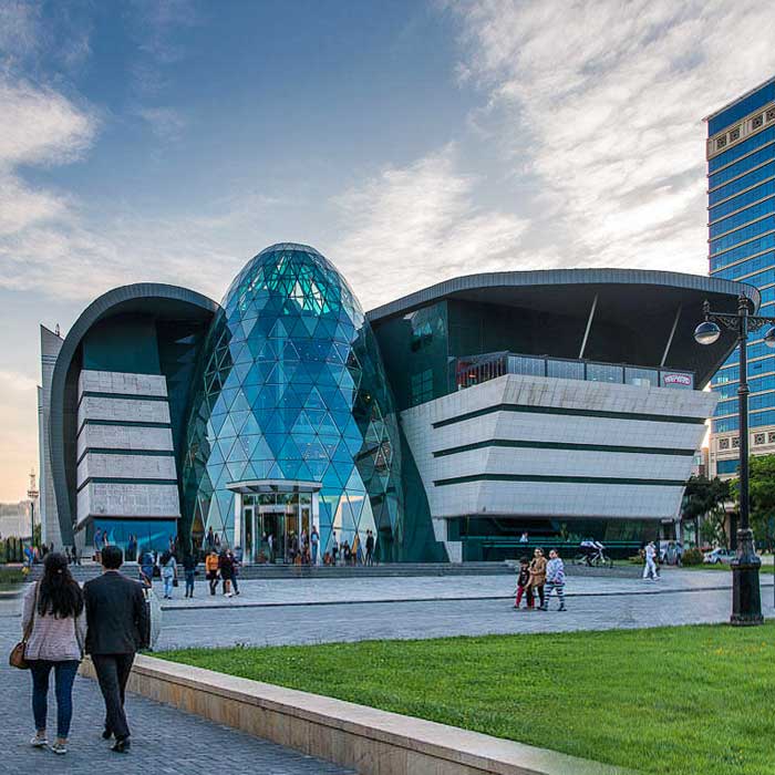
The Metropark Shopping and Entertainment Center is located in one of the most unusual buildings…
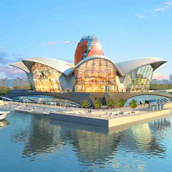
The Deniz Mall (Caspian Waterfront Mall) located at the Western end of the Baku Boulevard,…
Designed by Burrows Little, Park Boulevard Mall (Park Bulvar) located in downtown Baku on the Baku…
First Luxury Destination Shopping Mall - Port Baku Mall has been designed by leading British architects Broadway Malayan and opened…
28 Mall Shopping Center (Mall 28) located in the heart of Baku, adjacent to the city’s largest underground and overground…
Designed by Burrows Little, Park Boulevard Mall (Park Bulvar) located in downtown Baku on the Baku Boulevard National Park, near the…
Ganjlik Mall Shopping Center is one of the largest shopping centers in Azerbaijan. The mall is well located, north of…

A diamond of the Azerbaijani sports facilities, the Baku Olympic Stadium (Baku National Olympics Stadium) located at Lake Boyukshor is…

Designed by South Korean Heerim Architects & Planners Co. Ltd, based on the concept of "wind and fire” and built…
What’s your Reaction?


